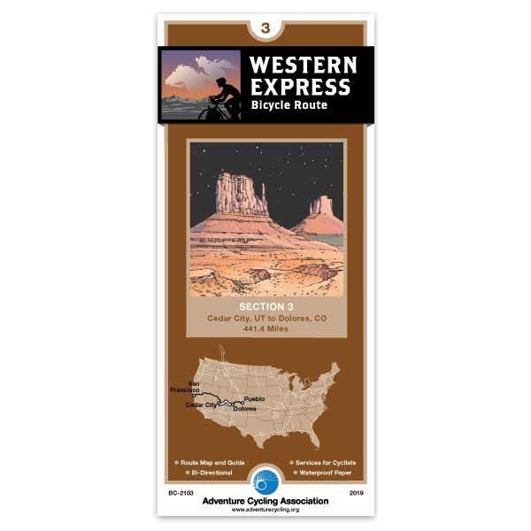
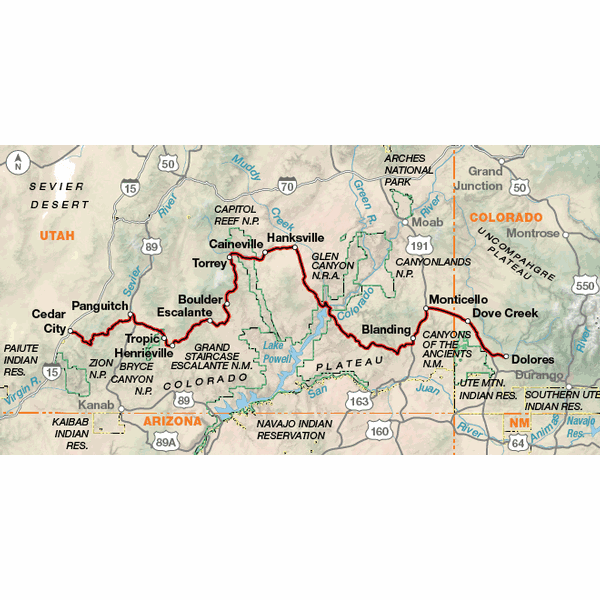
Section 3 of the Western Express Route begins in Cedar City, Utah, and ends in Dolores, Colorado. You'll see some of the most spectacular scenery in America along paved roads, and the route provides access to a large number of national parks, monuments and state parks. Take some extra time to explore and do some hiking and biking into the off-route parks. This section is considered very difficult due not only to terrain (grades from 6% to 14% in Utah), but also due to lack of water, temperature extremes, and long mileages without services. In most cases there are no homes or ranches between services. Carrying a water purifier is stongly advised for water access at Lake Powell and for miscellaneous reservoirs, creeks and lakes at primitive campsites. Utah is extremely dry and most of the route has only rocks for shade.
Last year I used the Pacific Coast map from Oregan to Southern California and this year I used the Western Express from Sacramento Ca. to Ely Nv. The maps are good, but what I don't like is if you get off route you don't show the names of the roads near the route even though you show the roads. Witch has me stopping often to ask where I'm at on the map. I find the directions in towns very confusing and when I ask the locals and show them the map, they often are just as confused. Resetting the milage at the match lines works if you don't get lost or deviate from the route. I travel with a state or county map and use yours as a supplement. With the cost of yours and designed just for bikes this souldn't be necessary.