Sedro-Woolley, WA - Sedro-Woolley, WA (866.4 miles)
Product Code
BC-25
Brand
Adventure Cycling Association
Price
$32.00
**Note: Map sets are separate inventory and can only be sold and returned as map sets. We are unable to return individual maps if purchased as a set.**
Sedro-Woolley to Elma to Sedro-Woolley, WA (869.5 mi.) These two map sections offer a variety of options for creating the ultimate loop tour in Washington State from the Olympic Mountains, across the Cascades, down into the Columbia Basin and back again with multiple ferry options in Seattle to round things out.
For more information on this route or to print out the most up to date addenda for these maps please click on link: Washington Parks Route
*Note: These tracks include distances on ferries. Total mileage will differ from paper map mileage.
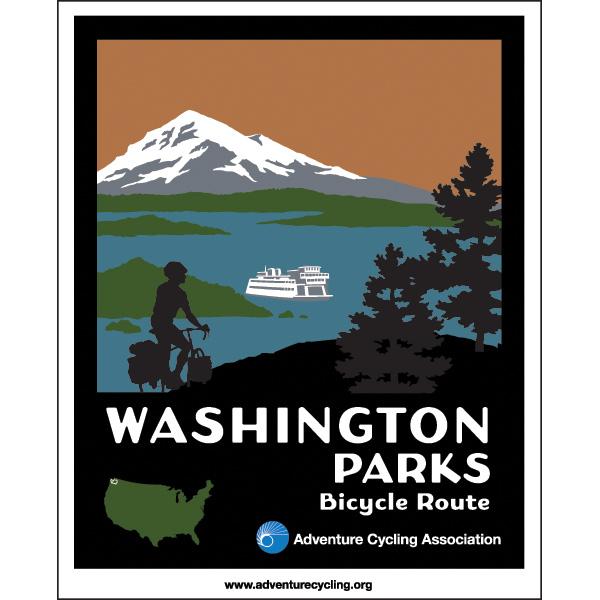
Washington Parks - Circumnavigate Olympic Pensinsula
Rating:
Reviewed By:
A customer from Anacortes, WA on 10/6/12
The main reason I buy AC maps is for all the good information regarding camping, motels, etc. Secondary is the route. After using many of AC maps I find a similar approach in all of them. They are not geared so much for the experienced cyclists who do 60 to 80 miles per day as they are for folks who may 1) not be comfortable with higher traffic routes and 2) those that want to meander. Invariably we use your routes to some extent but if we can find a more direct route with good shoulders and are comfortable with the traffic, we will take that route. This last trip around the Olympic Peninsula was no different. The specific part of the map which we did not follow was from Humptulips to Montesano. It had few if any services for 30 or so miles. The route we chose was to stay on 101 to Aberdeen/Hoquiam and take Hiway 12 to Montesano. It was a beautiful ride with fabulous shoulders and better yet, no up and down grades that exceed grades on higher traffic roads. That is another downside to AC maps. If there is a hilly route and a less hilly route, AC goes the hilly option. Again, great for getting off the beaten path but hard on cycling tourists who have had a long day in the saddle and dread yet another 7% grade ahead. I'll continue to buy AC maps for the abundance of information and rely on my own analysis and conversations with locals to determine the best route for my state of mind, abilities and goals for the day. Thanks for asking.
New Format is a winner
Rating:
Reviewed By:
Larye Parkins on 2/3/12
We were pleased to find the new Washington Parks maps have elevation profiles on them. For us, as tandemists, long climbs make a big difference in daily mileage planning. We're looking forward to seeing elevation profiles added to all the routes where there is significant terrain. The on-line errata sheets are also valuable updates, to keep track of ever-changing services (especially food).
Washington Parks Maps
Rating:
Reviewed By:
Paul Kezmoh on 1/9/12
While I haven't used them on the road yet I'm planning a trip for this summer and have been laying out my trip. As always I love the maps that allow me to know where the lodging, camping and food sources will be. I do have one major complaint from your other maps which I have used extensively. I find the orange numbering very hard to read. I had to take a pen and write the mileages in black so I could read them. Please go back to the black numbering for the mileages.
Washington parks map
Rating:
Reviewed By:
A customer from Ghent , Belgium. on 11/4/11
There are no indications for the altitude. The profile below the maps is a bit poor.For the rest: nice stuff.
Add Product Review
Become an Adventure Cycling Association member!
Join Now to save 25% off of this map set and receive free shipping! This can pay for your membership, plus you’ll receive Adventure Cyclist magazine.

 based on 4 reviews.

