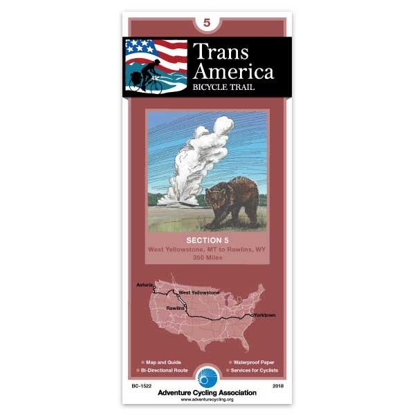
Section 5 of the TransAm route takes you through Yellowstone National Park, the jewel of America's National Park System, and Grand Teton National Park. Look for elk, bison, bears, and wolves as you cycle along the river between West Yellowstone and Madison Junction, and take time to explore the many and varied geyser basins on your way to Old Faithful. On your way out of the park you will cross the Continental Divide twice, and once outside the park, a third time at the spectacular 9,658-foot elevation Togowotee Pass, just east of Grand Teton National Park. A spur is shown to Jackson, Wyoming. From Togwotee summit, the eastern slope of the Rockies falls away before you as you cycle along the Wind River through Dubois and on to Lander. After Lander the route crosses the dry and windy Great Divide Basin and ends in Rawlins.
I used all 12 maps for my Trans Am trip in 2019. I used them A LOT. All the time, always on my handlebar bag. They were water resistant, tear proof, did not bleed and 110% helpful. I loved these maps. The designers are geniuses. Thank you so much!
Transamerica Section 5
Rating:
Reviewed By:
A customer from Rockville, MD on 3/6/11
First, I haven't ridden it yet, so there may well be inaccuracies.
But these are wonderful maps, and such stuff as dreams are made of. The 127-mile Rawlins to Lander stretch is posted on my mental bulletin board as the most committing piece of the TransAm, and I think of finding the ruts of the Oregon Trail somewhere out on a wind-blasted road.
maps in general
Rating:
Reviewed By:
A customer from Portland, OR on 10/2/09
your maps are great, and are definitely my choice for riding. an improvement would be that at the lower left section of the maps below "service directory" where camping/lodging is described to try and identify where it is on the map somehow. If I remember correctly, occasionally I was frustrated to read about a campsite description of it's location only to turn and find no markings of where it is on the map. Just something basic such as for instance if "campsite is on Jones street, at the cross of Mary Street" then to follow through on the map, perhaps a simple insert (as there is often space since areas of the map are often just topography that isn't utilized) that actually shows where Jones and Mary street is. this would be helpful, as at the end of the day and it's getting dark, there isn't much time to look around and often one is looking to camp quickly. This issue occurred only occasionally, yet it seems possible to make a quick fix.
thanks!