Rating: 
Reviewed By: Tourbiker on 10/18/13
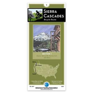
Rode the entire route first year these maps became available. As an Oregon Native Familiar with the PCT (Pacific Crest Trail) I knew it would be a challenge. Some of the No California hwy choices were extremely dangerous., with little to no shoulder. Couple this with poor knowledge of the local populations bike awareness, and you have a recipe for disaster. I took a star off for this reason. All in all It was a stunning 6 week ride. slide show here if you care to see some of the highlights. Including the Bellingham Spur. http://www.youtube.com/watch?v=45eAJfZF5cY&feature=youtu.be Throw the bike on Amtrak to get there if you like, for only $5bucks over the cost of your ticket (+ the cost of their bike box).


