

Accurate and Easy
Rating: 
Reviewed By: Chuck on 9/28/21
I only did about 150 miles of the route. Used Ride with GPS to modify the start and end point. Roads were good and easy to follow
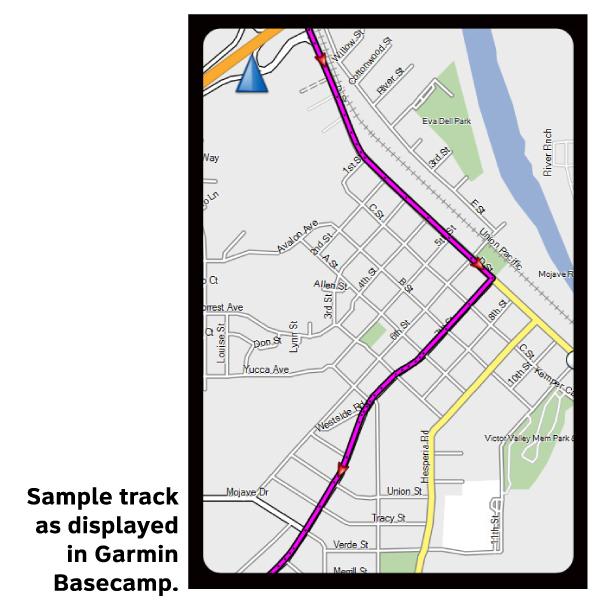
Please note, GPX Data is not refundable! Please examine the sample data on the device of your choice before purchasing GPX data packages. More information about GPX Data files can be found here.
After your GPX purchase, you can get GPX updates for free by re-downloading them from your My Adventure Cycling account.
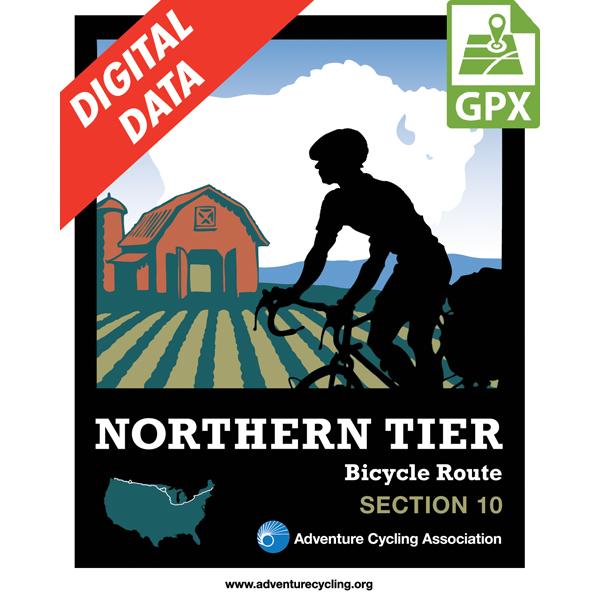
GPX Data products consist of track and service waypoint files in gpx (GPS Exchange Format) file format to be used on a GPS device, smartphone, or tablet. These products are suggested as a companion product to the printed Adventure Cycling Route maps and feature the same services listed on the physical maps. More information about GPX Data for Devices can be found here.
From Orchard Park northward into Buffalo you will experience urban riding conditions so ride defensivly. A nicely paved but poorly signed bike path extends from the Buffalo Naval Park to the Peace Bridge, which takes you into Canada. The Peace Bridge is an easy crossing, and the route continues on a bike path along the Niagara River. You'll pass Niagara Falls, then cross back into the U.S. At Lockport, the route follows 90 miles of the Erie Canalway Trail before heading toward Lake Ontario. The route then heads east into the Adirondack Mountains. The terrain is hilly and passes many lakes and tourist spots. The endpoint is Ticonderoga which is located right on the Hudson River.
More information about this route is available here.
GPX Data Resources
* These products are delivered in compressed zip files. Instructions on extracting the data are located here.
**NOTE: Occasionally, the GPX data you purchase will be newer than the paper map currently being sold. They may still be used together. See the Tracks and Service Points FAQs for more information.**
based on 2 reviews.
Rating:
Reviewed By: Chuck on 9/28/21
I only did about 150 miles of the route. Used Ride with GPS to modify the start and end point. Roads were good and easy to follow
Rating:
Reviewed By: Travis on 10/18/17
Really enjoyed this route. The roads were all excellent for cycling, and my trip met/exceeded my expectations.