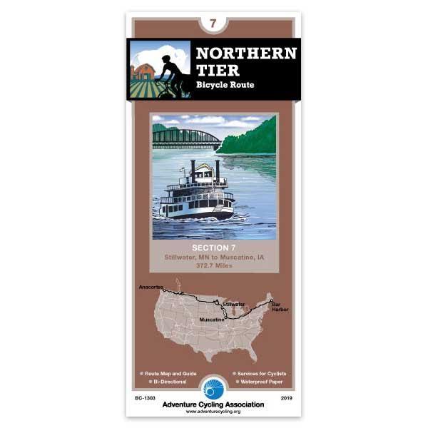
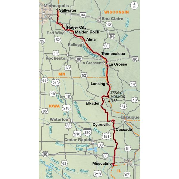
In general, you'll encounter either hills or long rolling grades along this section, with the exception of flat terrain north of Muscatine, Iowa. Traffic increases wherever the route crosses the river. From Stillwater south to Afton you'll be riding through a growing residential area on narrow county roads. At Prescott, the route crosses the St. Croix River into Wisconsin to follow the Mississippi River’s east bank. It uses the Great River State Park Trail, an old railroad bed surfaced with finely crushed limestone through Perrot State Park and the Upper Mississippi River National Wild-life Refuge. South from Dyersville, Iowa, you stay on highways and county roads. Traffic increases around Muscatine, an old industrial town.
Hi, I'm 69 years old. I am a avid cyclist. Your maps are a god send. I have use them to do the Northern Tier, the TransAm, the Sierra Cascade, the Great River South route and the Great Parks North and South route 3 times. One time riding to the Grand Canyon. I found out the hard way why you do not put out maps for Durango to the Grand Canyon. Your maps make touring so much more enjoyable. They allow you to adapt and change time lines and find a hot shower each night if you want. Thank You so much. Bill