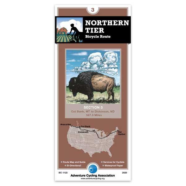
Beginning in Cut Bank, the route heads southeast along the Rocky Mountain Front, where the eastern slopes of the Rocky Mountains meet the plains, to Great Falls. Then you'll head east through rolling prairies. You'll cross the Yellowstone River at Glendive, MT, where you'll follow the I-94 corridor to Dickinson, ND. This route is contiguous with the Lewis & Clark Trail from Lewistown, MT to Dickinson, ND.
We utilized part of map #3 for our cross country tour in 2018. This section, from Circle to Dickenson, is well-routed. We enjoyed stopping in Glendive for Makoshika State Park, and in Medora for Teddy Roosevelt State Park. For those who can't detour into the park, there is a gorgeous lookout just east of the park, on hwy 95, the Painted Canyon Visitor Center which provides a good view of inside the park (you might even see buffalo peeking out from trees). Good routing and services.
Northern Tier Section 3 & 5
Rating:
Reviewed By:
Philip L. on 10/4/16
Very happy with the ACA maps and their associated info. Directions to a free camping spot on the first night paid for the investment. The routes are vetted for so many things, it's reassuring to know that you are on one. I will say I opted to stay on the Hi-Line rather than follow the last half of route due to a much lower volume of tanker truck traffic according to all the locals. The fracking boom has passed, at least until fuel prices jump back up. It made sense with a spanking tailwind to continue pointing east rather than fight the crosswind for a long detour south. Had to cross the Fort Peck Reservation from dawn til dusk. All local advice is against spending the night in the "Rez" so this is one reason to stick with the route laid out on the map.
Northern tier 1 and 2
Rating:
Reviewed By:
A customer from Rochester, NY on 8/3/11
I just completed a ride from Seattle to Glacier and found the maps very usefull in planning and executing the trip. Along the way I met a lot of riders who were not using your maps and when I showed them the information that you include they said that in the future they were going to buy these.
The only thing I wished along the way was that each panel also had the profile of the grades for that panel. Knowing what was coming as far as ups or downs was somehow comforting.
Phelps's Mission Possible - July 1st- October 1, 2011
Rating:
Reviewed By:
Brian G. Phelps on 2/3/11
July 1, 2011, I will be cycling 4,000 miles across USA & Canada, solo, self-contained. Northern Tier, Section 3 looks very good. I will keep you folks and America posted about how Sections One and Three work out, especially with the increased tanker-truck traffic in Eastern MT and Western ND. Your organization has been a tremendous resource for me and will continue to be. Thanks, Brian G. Phelps -Phelps's Mission Possible