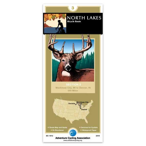
From Mackinaw City, Michigan to Cross Village, the route primarily follows two-lane county roads through farms. From the campground at Wilderness State Park, you can see a glorious sunset over Lake Michigan with the distant view of the Mackinaw Bridge. The Tunnel of Trees Scenic Route from Cross Village to Harbor Springs is a narrow road, mostly without a centerline, but traffic is light and slow moving. From just south of Acme through Traverse City and on to Suttons Bay is the TART Trail, an off-road path that leads through the State Park and downtown Traverse City. From Suttons Bay, the route crosses the Leelanau Peninsula to the Sleeping Bear Dunes National Lakeshore. Then you’ll follow rural roads and state highways through small vacation towns south along the Lake Michigan shore. At New Buffalo, the route leaves the Lake Michigan shoreline on rural roads across Indiana farmland to La Porte. The route follows the residential streets through La Porte before heading out on rural farm roads to Rochester and you’ll finish this section on the Nickel Plate Trail to Denver, Indiana. Click on enlargement for detail.
My wife and I used the map for a 340-mile trip from Cleveland OH to Rochester NY in May 2021. I looked at the map while riding, and the narrative text for planning. The map shows all the street names, the scale has enough detail, and the service symbols highlight important items. It's waterproof, foldable, and tear-proof! I hope the description of Indigenous people is revised and expanded in the next edition.
North Lakes Section 3
Rating:
Reviewed By:
A customer from Carbondale, CO on 8/30/11
We patched together a tour from Grand Rapids, up to Luddington, MI, accross on the car ferry to Manitowoc, north to Escanaba, accross the U.P. to Mackinaw City, then down to Harbor Springs to visit family for a bit before heading back south to complete the loop.
We didn't end up using much of this section of the map as we went off route from Harbor Springs. As with other Adventure Cycling map products I have used the map was helpful and pretty accurate. Due to economy and what not some of the hotels listed were no longer open. We would have also appreciated a bit more current restaurant info.
We ended up buying the "Bicycle Map of Northwest Michigan" from Cherry capital cycling club and used it to tour NW Michigan between Harbor Springs and Traverse City (our favorite area along our tour). This map was a great additional resource for this area.
Used for short term credit card touring
Rating:
Reviewed By:
A customer from Carbondale, CO on 7/12/11
Similar to past tours using Adventure Cycling maps helped us have a successful tour. The recent economic recession has led to some of the listed hotels and business closing down, so updating this info would be helpful (call ahead if you are planning on a particular business or motel).
When in Harbor Springs, Mi, we purchased the Bicycle Map of NW Michigan (avail. from: www.cherrycapitalcyclingclub.org). This resource was a great companion to the Adventure Cycling map, we actually diverted from the Adventure Cycling route onto some of the routes on this map.