North Lakes Section 2 GPX Data


Please note, GPX Data is not refundable! Please examine the sample data on the device of your choice before purchasing GPX data packages. More information about GPX Data files can be found here.
After your GPX purchase, you can get GPX updates for free by re-downloading them from your My Adventure Cycling account.
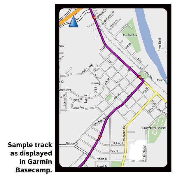
GPX Data products consist of track and service waypoint files in gpx (GPS Exchange Format) file format to be used on a GPS device, smartphone, or tablet. These products are suggested as a companion product to the printed Adventure Cycling Route maps and feature the same services listed on the physical maps. More information about GPX Data for Devices can be found here.
From Escanaba to St. Ignace the route stays mostly on US 2. This highway is very busy with both recreational and commercial traffic, but generally has wide paved shoulders. In general, when US 2 is directly on Lake Michigan shore or well inland it is flat, but in between there are numerous climbs over coastal bluffs which provide spectacular views of the lake. The Mackinac Bridge between St. Ignace and Mackinaw City, which connects Michigan's Upper and Lower Peninsulas, is part of I-75, and bicycles are prohibited. Adventure Cycling recommends riding the ferry to Mackinac Island to cross the Straits of Mackinac. No motorized vehicles are permitted on the island, which is 80% state park, and 20% privately owned. The Manitowoc Alternate can be used as a shortcut between central Wisconsin and the lower Michigan peninsula. It shortens the route by 215 miles by using a ferry across Lake Michigan.
More information about this route is available here.
GPX Data Resources
- GPX Data Agreement
- Support Pages for Digital Route Data products
- Map Updates and Corrections (Addenda) - Always be sure to check for map updates and corrections before leaving on your trip.
- Temporary Road Closure Information
- Frequently Asked Questions
* These products are delivered in compressed zip files. Instructions on extracting the data are located here.
**NOTE: Occasionally, the GPX data you purchase will be newer than the paper map currently being sold. They may still be used together. See the Tracks and Service Points FAQs for more information.**
You may also like:

Reviews
There are currently no reviews for this product, be the first!