Lewis & Clark Section 5 GPX Data


Please note, GPX Data is not refundable! Please examine the sample data on the device of your choice before purchasing GPX data packages. More information about GPX Data files can be found here.
After your GPX purchase, you can get GPX updates for free by re-downloading them from your My Adventure Cycling account.
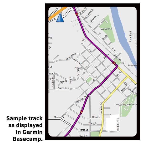
GPX Data products consist of track and service waypoint files in gpx (GPS Exchange Format) file format to be used on a GPS device, smartphone, or tablet. These products are suggested as a companion product to the printed Adventure Cycling Route maps and feature the same services listed on the physical maps. More information about GPX Data for Devices can be found here.
This section is rich with historical locations, an option, an alternate and a spur. You can easily pedal more than the cover value of 476.5 miles if you choose Section 5 of the Lewis & Clark Bicycle Trail. At Three Forks, the Missouri River splits into the Gallatin, Madison and Jefferson Rivers, and you will leave the Missouri for the final time. Just south of Dillon, there's a choice to remain on the main westbound route or take the Big Hole Option. The main route over Lehmi Pass includes 24.5 miles of gravel while the Big Hole Option is slightly shorter and is entirely paved. An additional Continental Divide crossing may be made via the 18-mile gravel Gibbon's Pass Alternate. From North Fork, Idaho, on the main route, you have the opportunity to ride along "The River of No Return" on the 18.5-mile Shoup Spur. From North Fork, it is nearly a straight shot north to Lolo, Montana, the site of Travelers' Rest State Park. This is the site where Lewis and Clark stopped in each direction to rest and regroup for the next stages in their journey.
Major funding for the Lewis & Clark Bicycle Trail has been provided by REI.
More information about this route is available here.
GPX Data Resources
- GPX Data Agreement
- Support Pages for Digital Route Data products
- Map Updates and Corrections (Addenda) - Always be sure to check for map updates and corrections before leaving on your trip.
- Temporary Road Closure Information
- Frequently Asked Questions
* These products are delivered in compressed zip files. Instructions on extracting the data are located here.
**NOTE: Occasionally, the GPX data you purchase will be newer than the paper map currently being sold. They may still be used together. See the Tracks and Service Points FAQs for more information.**
You may also like:

Reviews
There are currently no reviews for this product, be the first!