Lewis & Clark Section 4
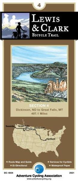
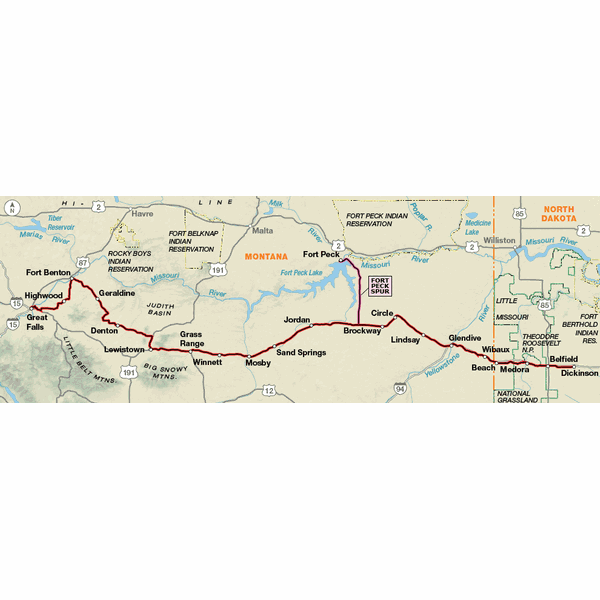


The fourth section of the Lewis & Clark Bicycle Trail begins in Dickinson, North Dakota. The route follows the I-94 corridor, alternating between the freeway and parallel county roads. In eastern Montana it stays south of the Missouri River. This part of Fort Peck Lake/Missouri River carries many additional designations: the Charles M. Russell National Wildlife Refuge, the Upper Missouri National Wild and Scenic River and, most recently, the Upper Missouri River Breaks National Monument. There are very few access roads down to the river on this map section. If you'd like a closer look, check with one of the many guides listed on the map that offer tours. Services are few and far between through eastern Montana; you will want to plan your days accordingly. The terrain continues to be rolling to hilly; by the section's end in Great Falls you'll be able to see the Front Range of the Rockies on the western horizon.
Major funding for the Lewis & Clark Bicycle Trail has been provided by REI.
Map Resources
- Map Features
- Map Updates and Corrections (Addenda) - Always be sure to check for map updates and corrections before leaving on your trip.
- Temporary Road Closure Information
- Frequently Asked Questions
Reviews
There are currently no reviews for this product, be the first!