These GPX Data products cannot be used with the Bicycle Route Navigator App! Unless you plan to use a standalone GPS device, we highly recommend purchasing route sections WITHIN the Bicycle Route Navigator app.
Please note, GPX Data is not refundable! Please examine the sample data on the device of your choice before purchasing GPX data packages. More information about GPX Data files can be found here.
After your GPX purchase, you can get GPX updates for free by re-downloading them from your My Adventure Cycling account.
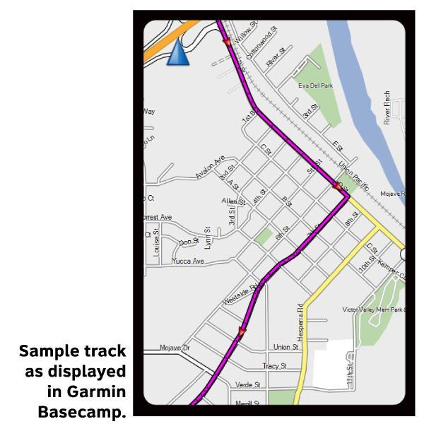
GPX Data products consist of track and service waypoint files in gpx (GPS Exchange Format) file format to be used on a GPS device, smartphone, or tablet. More information about GPX Data for Devices can be found here.
When ridden in a clockwise direction, the main route of the Green Mountains Loop Bicycle Route travels from Burlington, Vermont, eastward into New Hampshire along the Connecticut River. It continues back across Vermont then north into New York along the shore of Lake Champlain. Alternate routes provide options to ride entirely in Vermont. The Green Mountains dominate the views and the geography of Vermont. Although much of the route lies within valleys, expect many hills of less than 200 feet. Crossing the spine of the Green Mountains involves climbs of 1,640 feet between Richford and North Troy, and 1,220 feet between Hancock and East Middlebury. To avoid the climb between Richford and North Troy, you can cross the border into Canada for a more level 21.6-mile alternate. Most of the route uses lightly traveled roads with no shoulder. Paved shoulders prevail where traffic is moderate.
More information about this route is available here.
*Note: These tracks include distances on ferries.*
* These products are delivered in compressed zip files. Instructions on extracting the data are located here.
Reviews
Average rating: based on 1 reviews.
Good map that worked well but missed road closures
Rating:
Reviewed By:
Mark Wenzler on 10/3/19
The map was great, but not fully up to date. There were THREE bridges out (as in completely gone) in the first 100 miles, necessitating walking across creeks to avoid lengthy and hilly re-routes. Other than that, I had no issues and feel I got a good value from the map.