**Note: Map sets are separate inventory and can only be sold and returned as map sets. We are unable to return individual maps if purchased as a set.**
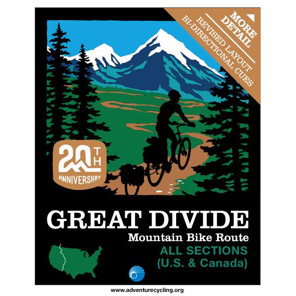
The world's longest mountain bike route, this route traces the Continental Divide from Canada to Mexico on dirt and gravel roads, some pavement and some singletrack.
For more information on this route or to print out the most up to date addenda for these maps please click on these links: Great Divide
I am very satisfied with my purchase. The maps are printed on high-qualityy paper and are chock full of useful, interesting information and nicely complement the .gpx data for the route.
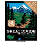
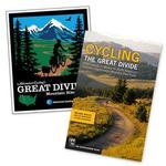
GDBR MAPS
Rating:
Reviewed By:
Larry Hipskind on 8/27/18
Received promptly--THANK YOU! Having ridden portions of the route on 3 different years, I commend your staff on all the hard work updating/ especially adding the NOBO description. Huge effort--- at 78 I hope to try the NOBO ride next year on Tour Divide. I'll provide you positive feed back after the tour.
It is an agonny
Rating:
Reviewed By:
Jaap Scheele on 2/16/18
It is not fair... I received all these beautiful maps of the Great Dividie Mountainbike tour but I will not be able to use them in real for several months... It is an agonny. The maps do look great, and the descriptions now seem to be detailed enough including the alternates, but I've only used them for the planning so far. I'm looking forward to the new detailed maps that will be mailed later this spring.
GDBR maps
Rating:
Reviewed By:
Bruce on 2/21/17
The maps were delivered as promised within a few days of ordering. I have not used them on the road yet but they appear to be heavy duty and likely will stand up to being used. Nice graphics, like the color scheme they use and easy to understand. I am using the maps along with following several different blogs on crazyguyonabike.com so I feel as though I have a good understanding of the terrain I'll be riding through. Can't wait to use them on the actual ride.
Nice to have promptly
Rating:
Reviewed By:
JerryS on 2/8/17
Maps look good
Pity contours not too defined.
Biggest gripe was the unexpected $30(Apprx) tax/handling charge levied by UK customs. Potential UK buyers might like to consider asking for these maps to be delivered piecemeal!!
Prompt Delivery
Rating:
Reviewed By:
Daniel Moden on 5/8/16
I haven't started my tour yet so don't know how the maps will work out in the field but I like the quality, clarity and light weight of these maps. More importantly, as a UK customer, mine arrived in two and half weeks. Not as quick as the 8 day record of the previous reviewer but still pretty prompt in my book!
Great Quality
Rating:
Reviewed By:
Dan on 3/8/16
Shipping suggested 2 months but these turned up in 8 days!
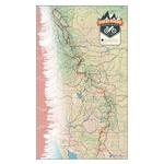
The map set is made from a quality material that feels great in the hand and is apparently water resistant. It feels like it will be hard to rip or tear accidentally as it has a slightly waxing feel. When all maps are held together in the folded state they are about 1.5cm thick. So carrying them all at once will be as easy as carrying any paper book, but only 200g or so.
The colour tones are aesthetically pleasing and print quality is top notch. All the details are clear but you will need to wear your glasses to read the smaller sections if you have eyesight problems.The maps are two sided and each side provides a clear route, many camping sites (both maintained and wild), gradient maps broken down in roughly 50mile segments, local information, handy tips, seasonal weather averages, turn by turn direction, alternate routes and more. Im impressed at the amount of information they can fit onto each page without it feeling too cramped.
Fully unfolded they measure 86x56cm (34x22 inches)
It will be a few months until i get out on the Great Divide trail but these maps im sure will stand up to the test.
Only downside is they are double sided which means you cannot layout the entire trip in maps on the floor! Not really a downside.
Highly recommended.