These GPX Data products cannot be used with the Bicycle Route Navigator App! Unless you plan to use a standalone GPS device, we highly recommend purchasing route sections WITHIN the Bicycle Route Navigator app.
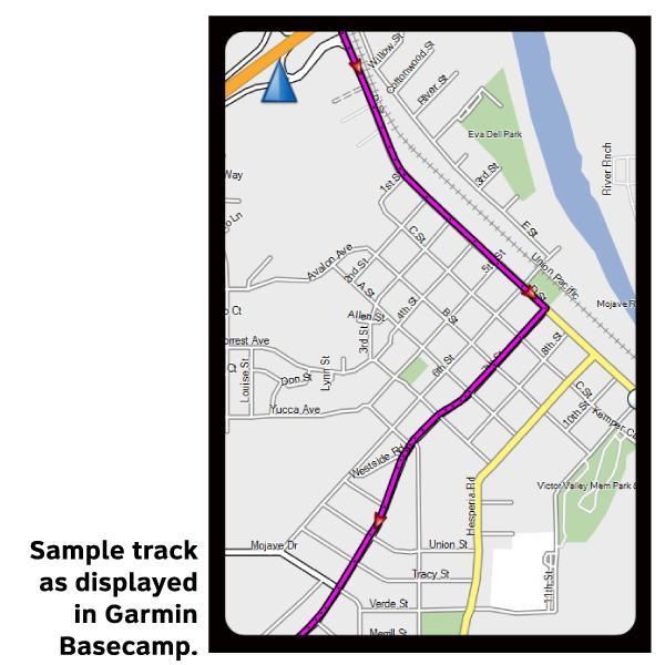
Please note, GPX Data is not refundable! Please examine the sample data on the device of your choice before purchasing GPX data packages. More information about GPX Data files can be found here.
After your GPX purchase, you can get GPX updates for free by re-downloading them from your My Adventure Cycling account.
GPX Data products consist of track and service waypoint files in gpx (GPS Exchange Format) file format to be used on a GPS device, smartphone, or tablet. These products are suggested as a companion product to the printed Adventure Cycling Route maps and feature the same services listed on the physical maps. More information about GPX Data for Devices can be found here.
Section 6 of the TransAmerica Trail follows a 15-mile section of I-80 between Sinclair and Walcott, and then turns south. The interstate has heavy traffic, but cyclists can ride the wide shoulder. The rolling basin called North Park contains the headwaters of the North Platte River and from this point southward to Canon City, riders traverse high-altitude country. Due to this altitude, some cyclists may experience headaches, insomnia, or shortness of breath, but most have approached this area gradually, riding from lower elevations, thus acclimatizing their bodies. As the trail approaches the Summit County area, traffic increases. Recreational facilities here attract many weekenders and vacationers from the more densely populated eastern slope of the Rockies. Around Frisco and Breckenridge, the route intersects with the Great Parks South Route and the Great Divide Mountain Bike Route. After Breckenridge, the South Park section begins with a moderately difficult climb over Hoosier Pass. Riders gain 1,500' within 10 miles in order to reach the top of the pass (elevation 11,542'), the highest point on the TransAmerica Trail. At Canon City the countryside gradually shows less and less relief, as the Trail emerges from the Rockies and winds through the Colorado Piedmont. This section ends in Pueblo, also the endpoint for the Western Express Route.
More information about this route is available here.
* These products are delivered in compressed zip files. Instructions on extracting the data are located here.
**NOTE: Occasionally, the GPX data you purchase will be newer than the paper map currently being sold. They may still be used together. See the Tracks and Service Points FAQsfor more information.**
Some day I will finish the Trans Am as I do only 1 or two sections a year (whatever I can do in a week) Purchase maps as needed as new versions have come out over the years. Amazing how many times I open and close the map and put it though abuse, Still in good shape. Road rebuild has bare dirt and no shoulder for 5 miles south of Kremmling wife drove me past that other you will want to hitchhike.