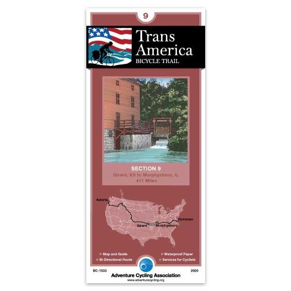
Section 9 of the TransAm Trail leaves flat Kansas and takes you into western Missouri's gently rolling terrain. The route gets hillier as you approach the Ozarks Mountain Range. The Ozarks themselves contain many steep grades. Cyclists have likened this part of the trail to one long, self-propelled roller-coaster ride. Humidity increases and the numerous streams and rivers you pass are inviting places for breaks. The route crosses the Mississippi River into Illinois. At Chester you can choose to ride the Mississippi River Levee Alternate or stay on the main route into Murphysboro, where the section ends.
I used all 12 maps for my Trans Am trip in 2019. I used them A LOT. All the time, always on my handlebar bag. They were water resistant, tear proof, did not bleed and 110% helpful. I loved these maps. The designers are geniuses. Thank you so much!