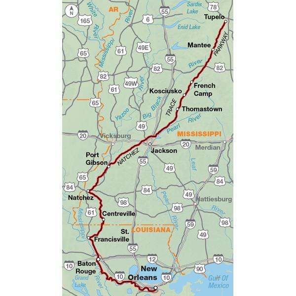
The riding conditions on the Natchez Trace Parkway are excellent with cyclists enjoying an almost traffic-free road. The two-lane road is gently graded and is generally well paved. Although there are no shoulders, the road edges merge evenly onto a grass shoulder. No commercial traffic is permitted on the Parkway and a 50 mph speed limit is strictly enforced. The Parkway ends near Natchez, Mississippi, and from there southward the route passes through rural woodland areas of southern Mississippi and Louisiana, where narrow two-lane roads and timberland dominate the scenery. The route ends in New Orleans. This route intersects the Southern Tier Bicycle Route about 20 miles north of Baton Rouge.
I like the details and security of having a paper map while traveling. Digital Maps are convenient but what if it dies or runs out of power? As a Marine Grunt, I suggest always having a backup or plan B! These maps have detailed information that the digital maps lack and any updates are available to print out online to store with your paper maps. Highly recommend it if you traveling anywhere!
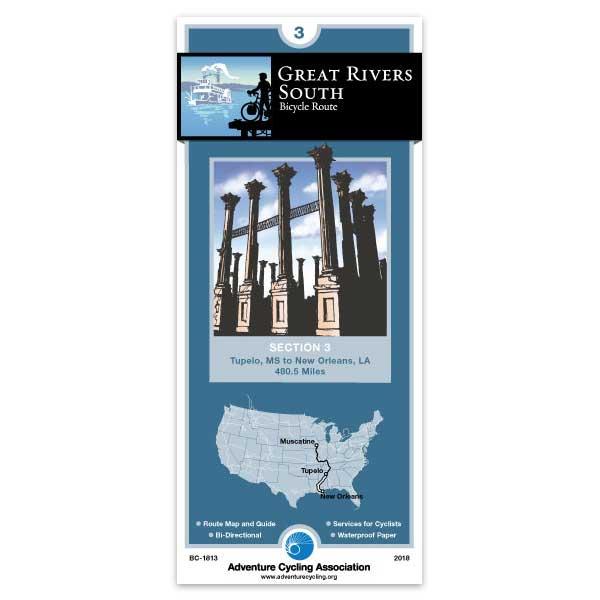
Great Rivers
Rating:
Reviewed By:
A customer from Statham, Georgia on 3/5/11
Your maps are always filled with good guidance, great tips, and accurate information. As for the Great Rivers ride, I haven't done it yet. I'm planning on riding it this year. Next year I'm doing the Northern Tier again: east to west this time. Too good to only do once!
Holy Cats!
Rating:
Reviewed By:
A customer from Bismark, ND on 12/25/06
Unparalleled accuracy, unequivocal claitry, and undeniable importance!