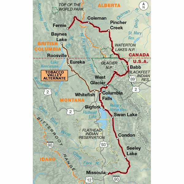
This section begins in Canada, on the west side of the Continental Divide, crosses onto the prairies on the eastern side, then returns to the west over Going-to-the-Sun Road in Glacier National Park. Towns like Fernie offer information and ample opportunities for the off-road cycling enthusiast, and whitewater rafting trips add to the choices of what one can do besides cycling. Glacier National Park experiences very heavy tourist traffic during the summer, and you must plan your ride over Logan Pass to accomodate "bicycles prohibited" times during parts of the day from mid-June to Labor Day. With the exception of the two climbs and descents over the Continental Divide, the route follows river valleys and has rolling terrain. An alternate is offered which keeps the cyclist on the western side of the Divide.
Reviewed By:
A customer from Winnipeg, Manitoba, Canada on 9/7/09
The alternate routes were very helpful. I chose to stay on Highway 93 between Fortine and Eureka. The traffic was very light and there was enough shoulder to allow safe travel.
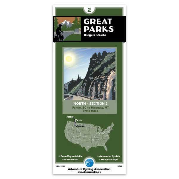
Great Parks North Section 2
Rating:
Reviewed By:
Gary Lawton on 8/4/09
Very useful map and info. Camping info was especially helpful. The only change I would make would be to put the map details on the same side as the map section they describe. Otherwise, an excellent map.